
Maritime Capability
Military Vessel Detection
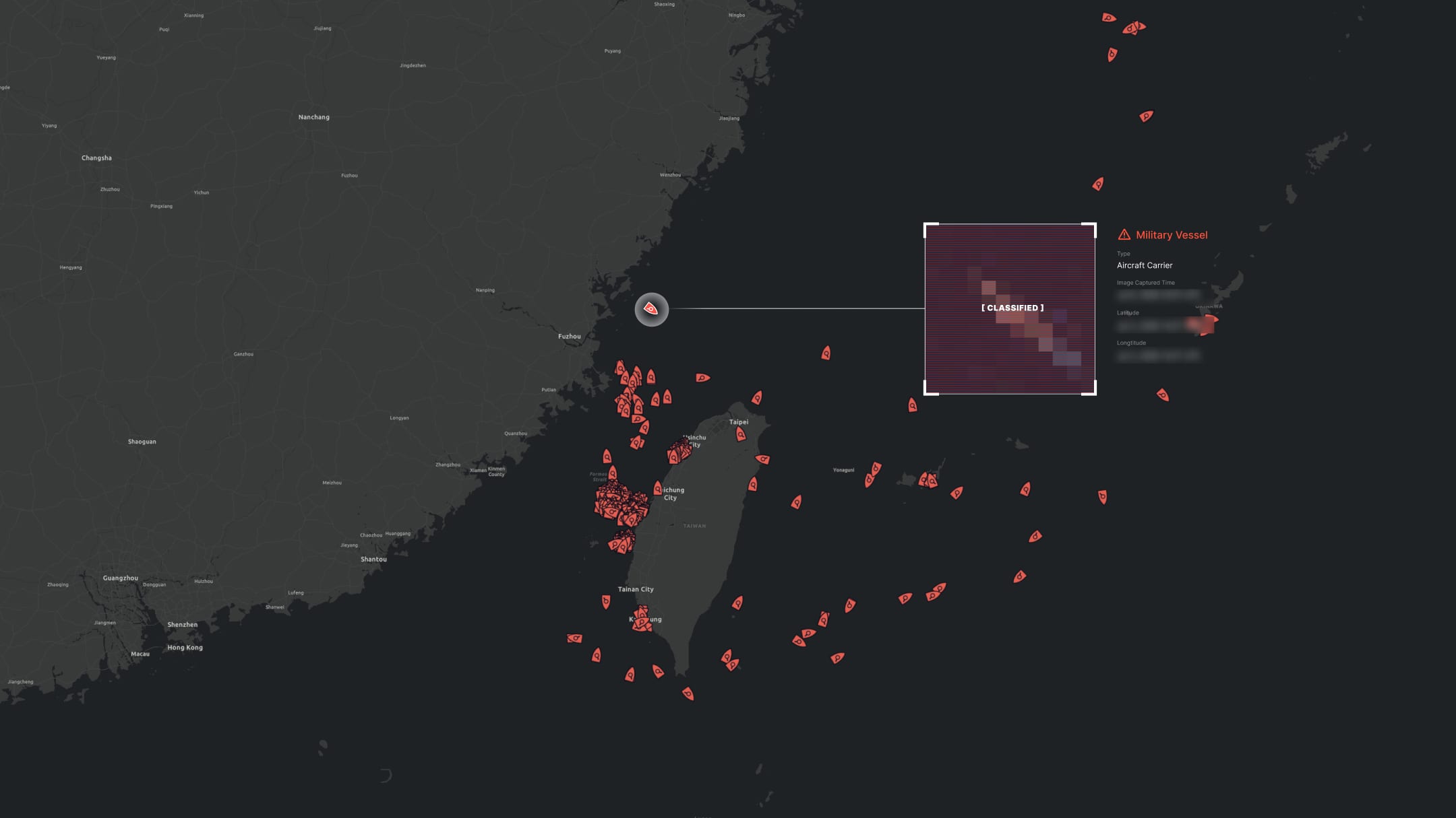
Monitor naval activity: surface combatants, aircraft carriers, and submarines, from satellite, independent of cooperative signals.
The Capability

An independent layer of naval awareness.
Theia detects and monitors military vessels using satellite imagery across the world’s oceans: surface combatants, aircraft carriers, submarines when surfaced or at shallow depth, and naval auxiliaries.
Military vessels rarely broadcast AIS during operations, so conventional tracking is limited to cooperative signals and public reporting, both incomplete by design. Theia supplements classified sources with open-source, commercially available satellite intelligence that allies, partners, and analysts can share and reference.
How Theia Detects
Satellite detection, applied to naval activity.

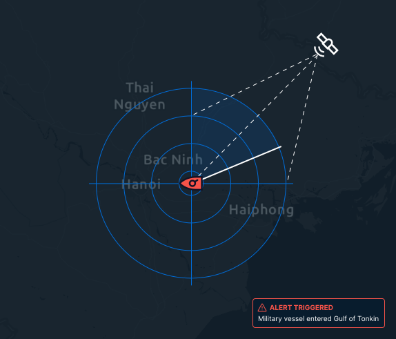
01 / Detect
SAR Detection
Synthetic aperture radar identifies vessel-sized objects regardless of weather, time of day, or AIS status, with no emitted signal required.

02 / Classify
Optical Classification
High-resolution optical imagery enables classification and identification of vessel type, size, and configuration.

03 / Monitor
Continuous Monitoring
Detections are timestamped, geolocated, and cataloged across strategic waterways, naval operating areas, and chokepoints.
OSINT Verification
Satellite ground truth for open-source analysis.
Open-source intelligence is increasingly important for governments, analysts, and journalists tracking naval activity. When reports surface of naval movements, fleet exercises, or vessel transits through strategic waterways, Theia’s imagery and detection data offer an independent way to verify or contradict those claims.
For agencies that need to corroborate classified reporting with open-source evidence, or for analysts working entirely in the open-source space, Theia provides the satellite ground truth that OSINT depends on.
By the Numbers
Naval activity, observed.
73,264
Military vessel detections
820
Aircraft carrier detections
274
Submarine detections
Use Cases
Where naval detection matters.

National Defense & Security

Allied Force Coordination

Maritime Domain Security

Analysts & Researchers
Get Started
Discuss secure access to military vessel intelligence.
For government and defense inquiries, contact our team to discuss deployment options and access requirements.