

Maritime Capability
IUU Fishing Detection
Detect illegal, unreported, and unregulated fishing activity across exclusive economic zones worldwide, including the vessels that go dark to avoid it.
The Problem

Where illegal fishing goes unseen.
Illegal, unreported, and unregulated fishing is estimated to cost the global economy up to $23 billion a year. It depletes fish stocks, damages marine ecosystems, undermines food security, and often intersects with forced labor and organized crime.
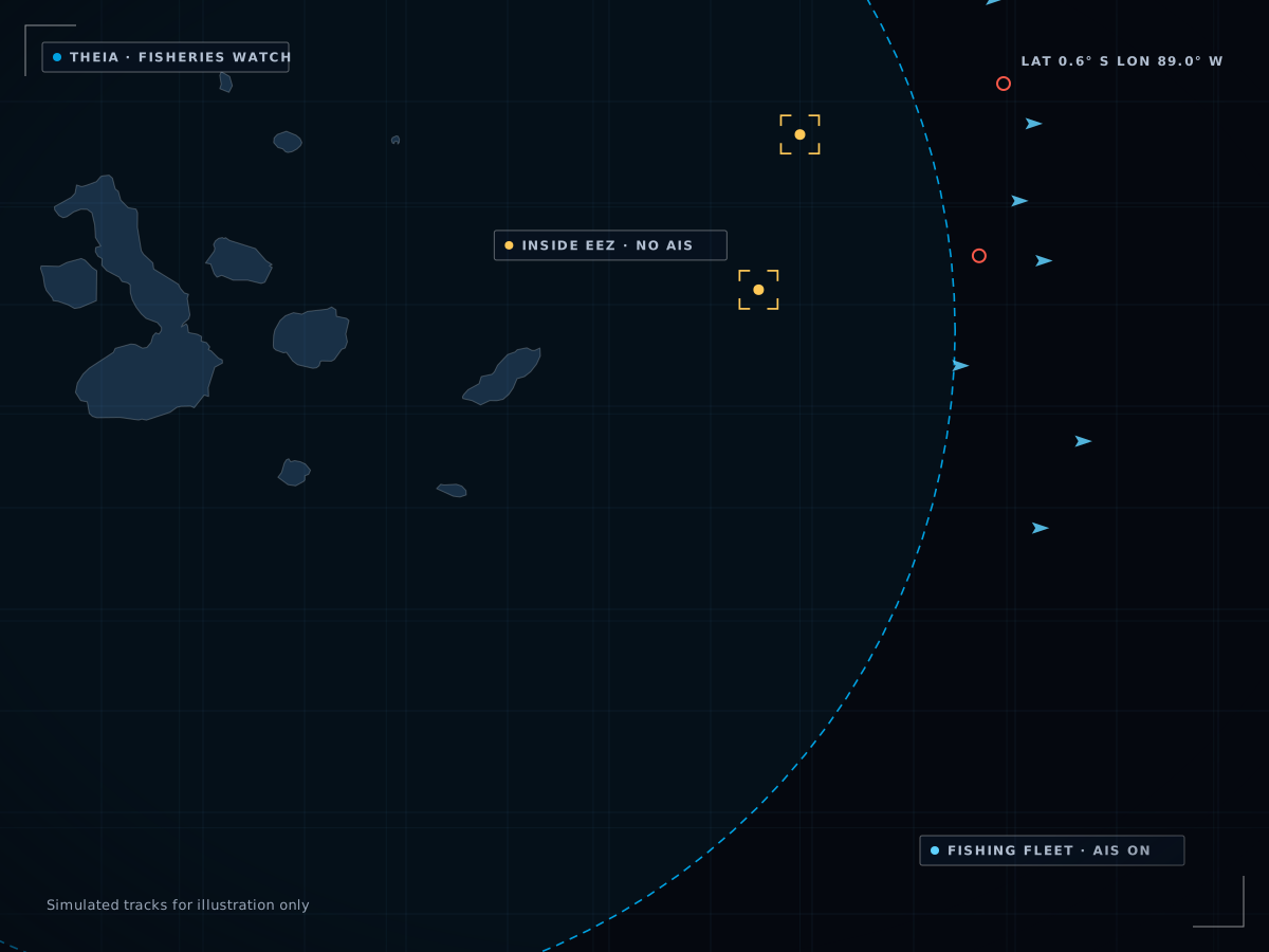
Vessels fishing illegally often switch off their tracking to avoid detection. Patrols cover a fraction of the ocean at any moment, and AIS-based monitoring only works on vessels that cooperate. That leaves vast stretches of ocean where illegal fishing goes unseen and unreported.
How Theia Detects
Detection that does not depend on cooperative signals.

01 / Dark
Dark Fishing Vessel Detection
Satellite imagery finds fishing vessels that have switched off AIS and are working where they should not be.
dark fishing vessels

02 / Boundary
EEZ Boundary Monitoring
Theia monitors exclusive economic zone boundaries continuously and identifies vessels crossing into protected waters without authorization, regardless of AIS status.
boundary crossings

03 / Pattern
Behavioral Pattern Analysis
Fishing leaves distinctive patterns, such as loitering, trawling tracks and transshipment at sea. Theia recognizes them from satellite data and flags anomalies.
fishing behavior

04 / Transfer
Transshipment Detection
IUU catch is often transferred to refrigerated cargo ships at sea to avoid port inspection. Theia detects these events with satellite-based proximity detection.
In the Platform
A standing watch over the waters you protect.
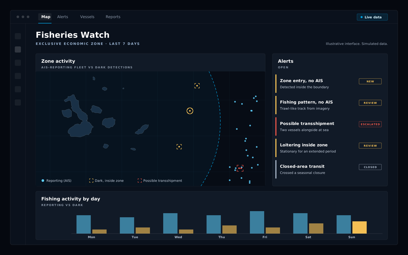
Theia keeps a continuous picture of the zones you define: the fishing vessels that report, the ones that don’t, and the boundary crossings and loitering that deserve a patrol’s attention. Each alert carries its imagery and a confidence assessment.
Work it in the Theia dashboard, pull it through the API, or take delivery as GeoJSON, S3 or CSV. To keep a standing watch around the clock, run it in Atlas for Maritime.
By the Numbers
The scale of the problem.
$23B
Estimated annual cost of IUU fishing, upper bound
40M+ km²
Earth’s surface analyzed daily
Global
EEZ boundary monitoring across the world’s oceans
Use Cases
Where IUU detection matters.

Coast Guard & Fisheries Enforcement

Regional Fisheries Management

Environmental & Conservation

Government Policy Enforcement
FAQ
Common questions.
Q1
Does detection depend on AIS?
No. Satellite imagery detects fishing vessels that have switched off their transponders, so detection works whether or not a vessel cooperates.
Q2
Can Theia detect transshipment at sea?
Yes. Catch moved to refrigerated cargo ships at sea is detected with the same satellite-based proximity detection used for ship-to-ship transfers.

Q3
Where can it monitor?
Exclusive economic zone boundaries across the world’s oceans, with more than 40M km² of the earth’s surface analyzed every day, and growing.

Q4
How do we get the data?
In the Theia dashboard, through the REST API, or as GeoJSON, S3 or CSV delivery. Secure deployment is available for government and defense. For a standing watch, use Atlas for Maritime.
Related Capabilities
IUU rarely happens in isolation.

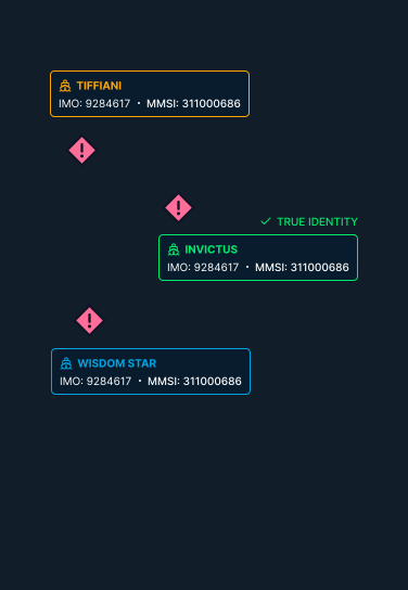
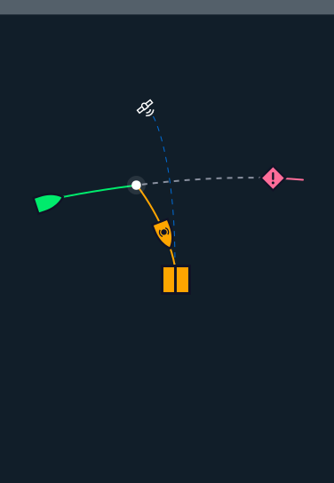
Illegal fishing intersects with the same deception tactics Theia tracks across the maritime domain.
Get Started
Monitor your waters.
Request a demonstration and see how Theia detects illegal fishing activity across exclusive economic zones worldwide.