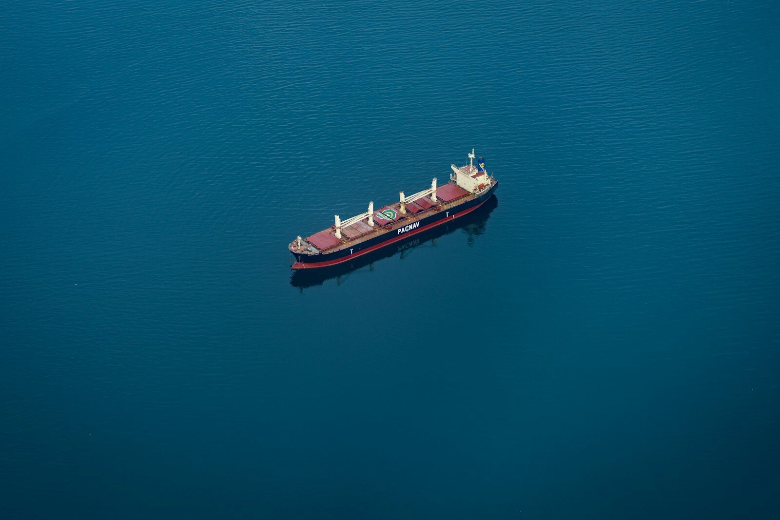
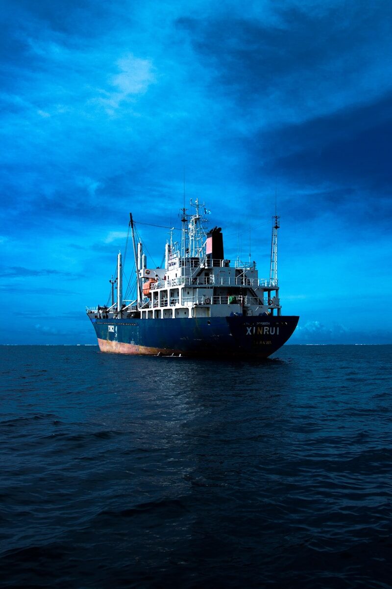
Satellite vessel detection is the process of observing ships from orbit through imagery of the water, rather than relying solely on what a vessel reports about itself. It is how the self-reported picture is enriched and verified, and how vessels that do not report themselves are still accounted for. This guide explains the workflow, from the reported baseline through observation to a usable, prioritized finding.
Start from the baseline
Detection is not a blank-slate search of empty ocean. It begins with the AIS baseline, the self-reported picture of who is where. That baseline defines what is already accounted for, and it is what gives an observation meaning. A hull matters differently depending on whether the baseline explains it. Anchoring on the baseline also focuses effort, directing observation toward the water and the questions that need it.
The observation layer
Enrichment comes from imagery of the sea surface, which shows what is physically present regardless of what a vessel broadcasts. Imagery is sufficient for the great majority of the work. Particular imaging types answer particular questions:
- Radar imaging (SAR) works day or night and through cloud, so it can confirm a hull in conditions where optical cannot. (See: What Is SAR and Why It Matters for Vessel Detection.)
- Optical (EO) imagery captures visual detail in clear daylight, useful for confirmation and for reading a vessel’s features.
- Radio frequency (RF) detection registers the signals a vessel emits, adding a layer that does not depend on imaging at all. (See: What Is RF Detection in Maritime Surveillance.)
The point is not the individual source. It is that observation of the water supplies the ground truth the reported picture cannot.
The detection layer
Observing an area is not the same as finding a vessel in it. The sea surface contains clutter: waves, weather, coastline, and other returns that can resemble a ship. Detection separates genuine vessel signatures from that background, producing a set of candidate contacts, each a probable vessel at a known location and time.
The correlation layer
Each contact is then compared against the AIS baseline, and the relationship is the output. A contact that matches an AIS position confirms a vessel. A contact with no corresponding AIS is a candidate to investigate. An AIS position with no supporting contact suggests the reported position is false. Correlation is where raw observation becomes information. (See: How to Track Vessels Without AIS.)
Attribution and judgment
The final steps put a name to the contacts that warrant it and weigh what they mean. Physical measurements from imagery are matched against vessel records to resolve identity, and the result is judged in context, because an unmatched contact is a candidate rather than a conclusion. A small vessel with no transponder is routine; a large vessel with no transponder and a troubling recent history is not. Deciding which is which is the difference between a feed of detections and an answer. (See: How to Verify Vessel Identity with Satellite Imagery.)
From observation to certainty
Detecting a vessel from space is only valuable when the workflow behind it turns observation into something an analyst can act on. SynMax delivers that as a capability through Theia, anchoring on the reported baseline, enriching it with imagery, and applying the judgment that produces verified, prioritized findings rather than isolated contacts.
That is the standard we hold to across everything we build: Ground Truth for Every Decision.
If your team needs verified detection across your waters, request a demo and we will show you what that looks like in your area of interest.