Detecting a vessel establishes that a ship is present. Verifying its identity establishes which ship it is. This step, known as attribution, matters most exactly when a vessel is being deceptive, because a claimed AIS identity can only be tested by comparing it against the physical vessel actually observed. This guide covers how imagery is used to resolve vessel identity.
Step 1: Measure the physical hull
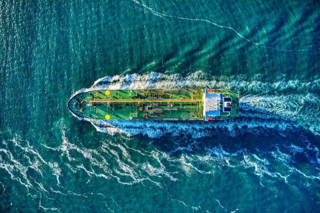
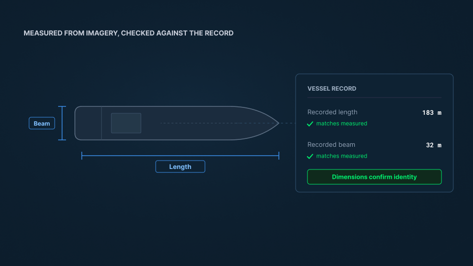
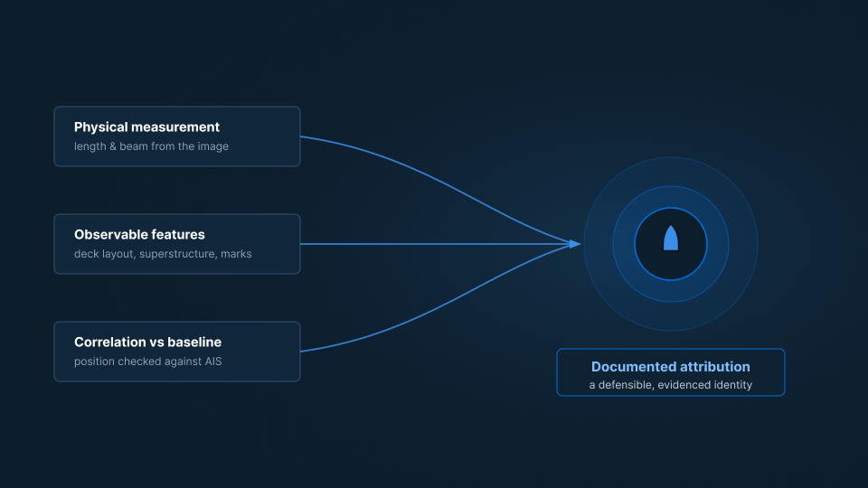
A vessel in imagery is a physical object with measurable dimensions. Length and beam can be estimated directly from the image using its geometry and resolution. These measurements are powerful because they are hard to fake: a vessel can broadcast any name it likes, but it cannot change the length of its hull. A measured hull that does not match the dimensions on record for its claimed identity is an immediate contradiction between what is reported and what is real. (See: What Is AIS Spoofing.)
Step 2: Read observable characteristics
Beyond raw dimensions, imagery reveals structural features that help narrow identity: the arrangement of the superstructure, deck layout, the position of cranes or manifolds, and the overall configuration typical of a vessel class. These features are compared against reference imagery and vessel records to move from a size range toward a specific hull or a short list of candidates.
Step 3: Correlate against the baseline and behavior
Identity is not resolved in isolation. A candidate hull is checked against the AIS baseline and against where that vessel is expected to be. If records place a named vessel thousands of miles away at the time of observation, that identity can be ruled out. If a vessel’s known route, speed, and history are consistent with the observed hull, confidence rises. Tying the physical observation back to the reported picture is what grounds the identification. (See: How Satellite Vessel Detection Works.)
Step 4: Resolve and document the attribution
The final step is a defensible conclusion. The measured dimensions, observed features, and correlation against the baseline are weighed together to attribute the hull to a specific vessel, or to state clearly where uncertainty remains. A documented attribution, with the evidence behind it, is what allows the finding to withstand scrutiny and feed downstream decisions.
Why verified identity matters
Attribution is what lets you move from “a hull is doing this” to “this named vessel, with this history, is doing this.” It is the point at which an observation can be tied to ownership, flag history, and prior behavior, and where a vessel of interest can be assessed in full. Without it, even a perfect observation is anonymous. (See: What Is a Vessel of Interest and How to Build a Vessel Risk Profile.)
From shape to certainty
A broadcast name is a claim; a measured hull is evidence. SynMax delivers the capability to resolve the two through Theia, matching observed vessels against the record and the reported baseline so a false identity cannot survive contact with the physical ship.
That is the standard we hold to across everything we build: Ground Truth for Every Decision.
If your team needs to confirm which vessel it is actually looking at, request a demo and we will show you what that looks like in your area of interest.