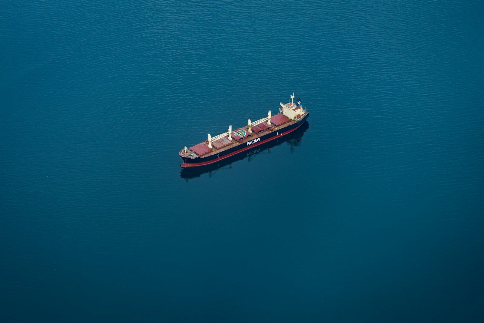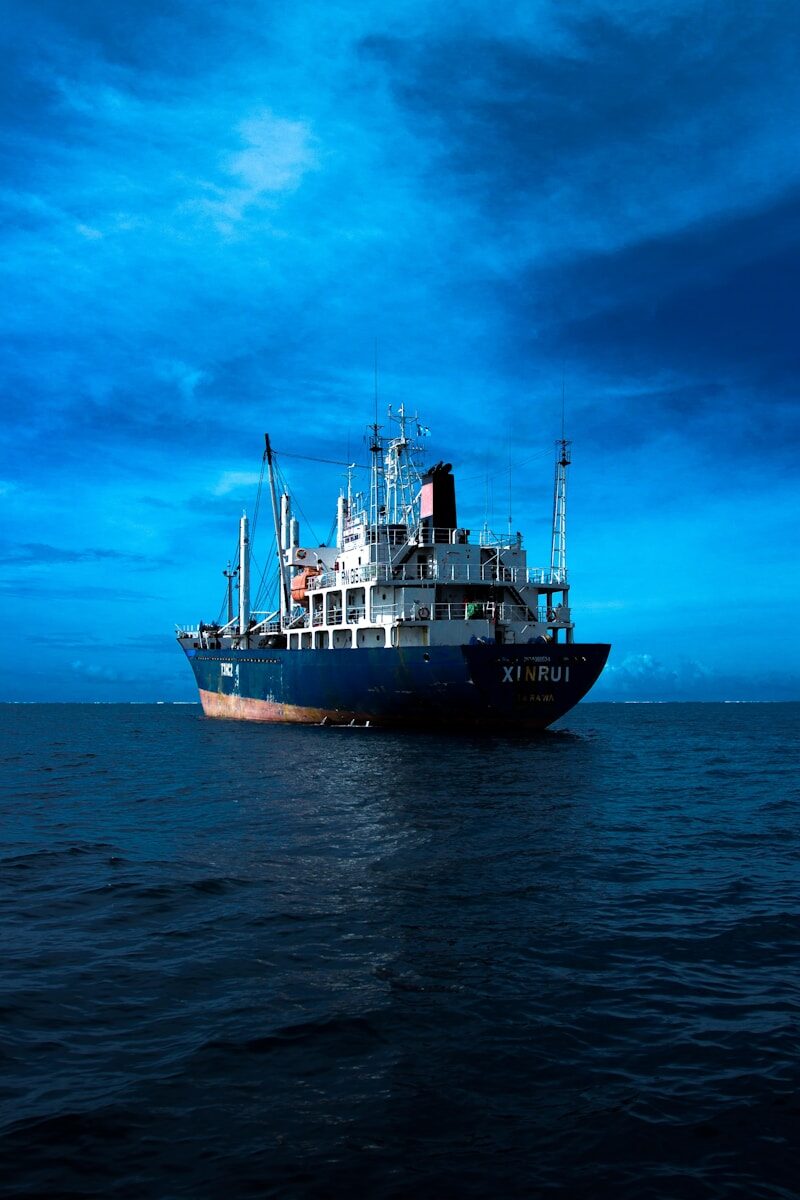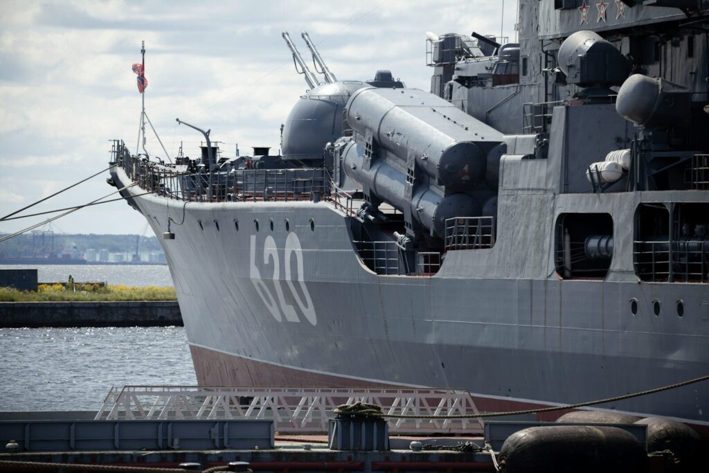
Open-source intelligence, or OSINT, is intelligence built from publicly and commercially available information rather than classified collection. Applied to naval activity, it is the discipline of understanding the movements and posture of warships and naval auxiliaries using sources anyone can, in principle, access. This analysis explains why naval tracking is a distinctive case, which open sources contribute, and where the real work lies.
Why naval activity is a distinctive case
For commercial shipping, the AIS baseline is rich, because most merchant vessels transmit honestly. Naval activity is different by design. Warships are generally exempt from AIS carriage requirements and frequently operate without transmitting, and naval auxiliaries and support vessels vary in what they broadcast. The self-reported baseline, so central to commercial maritime awareness, is sparse or absent for the vessels of most interest.
That inverts the usual balance of the work. Where commercial tracking anchors heavily on AIS and enriches it with observation, naval tracking leans far more on observation and other open sources, with the reported picture playing a smaller supporting role. The method is the same in principle, but the weight shifts toward what can be observed and inferred rather than what is declared. (See: How to Track Vessels Without AIS.)
The open sources that contribute
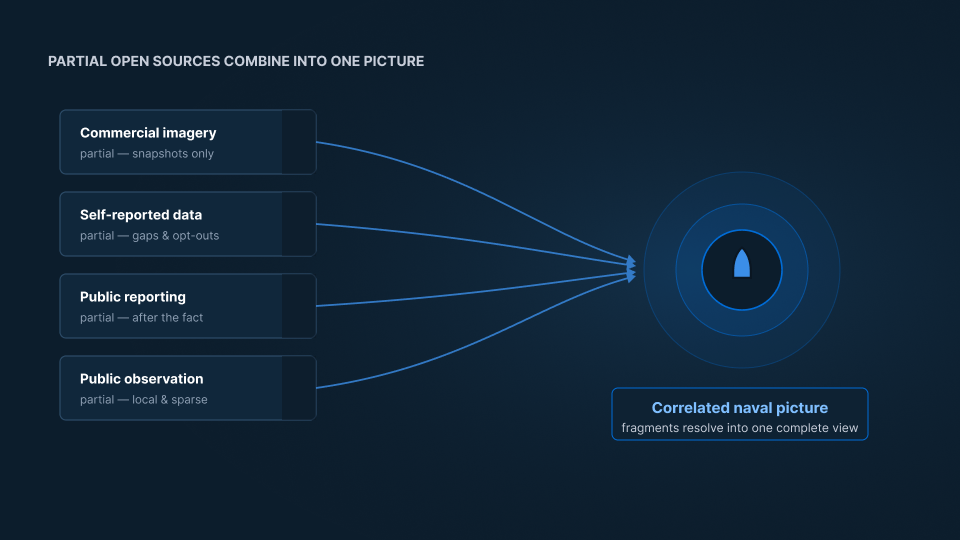
Naval OSINT draws on several categories of publicly available information, each partial on its own:
- Commercial satellite imagery, which shows what is physically present at ports, anchorages, and at sea, regardless of whether a vessel transmits. (See: How Satellite Vessel Detection Works.)
- Available self-reported data, since support and auxiliary vessels sometimes transmit even when combatants do not, offering indirect indicators.
- Official and public reporting, including government statements, exercise announcements, and navigational notices that constrain or reveal activity.
- Publicly shared observation, such as port and coastline photography contributed by the public.
No single source gives a complete answer. Each contributes a fragment.
Correlation carries the load
Because each source is partial, the value comes from combining them. Imagery establishes what is at a location; public reporting supplies context and timing; available signals and observations corroborate or contradict. Correlating these fragments builds a picture that no one of them provides alone, and it is what allows an analyst to move from scattered indicators to a coherent read of what a naval force is doing.
This is the same correlation discipline used across maritime domain awareness, applied to a case where the reported baseline is thin and observation does more of the work. (See: What Is Maritime Domain Awareness.)
Judgment is still the finding
As with commercial tracking, correlation surfaces candidates, and judgment turns them into findings. A vessel observed getting underway is a data point. Whether it signals a routine transit, a scheduled exercise, or a significant movement depends on the vessel, the context, and the pattern it fits. Reading that difference is where expertise matters, and it is what separates a feed of observations from an assessment. (See: What Is a Vessel of Interest.)
SynMax approaches naval awareness as a capability, correlating imagery and open sources into an understanding of what is happening and applying the judgment that says why it matters. The absence of a cooperative signal does not mean the absence of a picture; it means the picture has to be built, correlated, and judged rather than simply read off a transponder.
That is the standard we hold to across everything we build: Ground Truth for Every Decision.
If your team needs to understand naval activity across an area of interest, request a demo and we will show you what that looks like.