AIS tracking and satellite tracking are often presented as competing choices, as though an organization must pick one. That framing misses how the two actually relate. They answer different questions, and the useful picture comes from putting them together rather than choosing between them. This analysis lays out what each does well, where each falls short, and why the comparison itself is the point.
What AIS tracking does
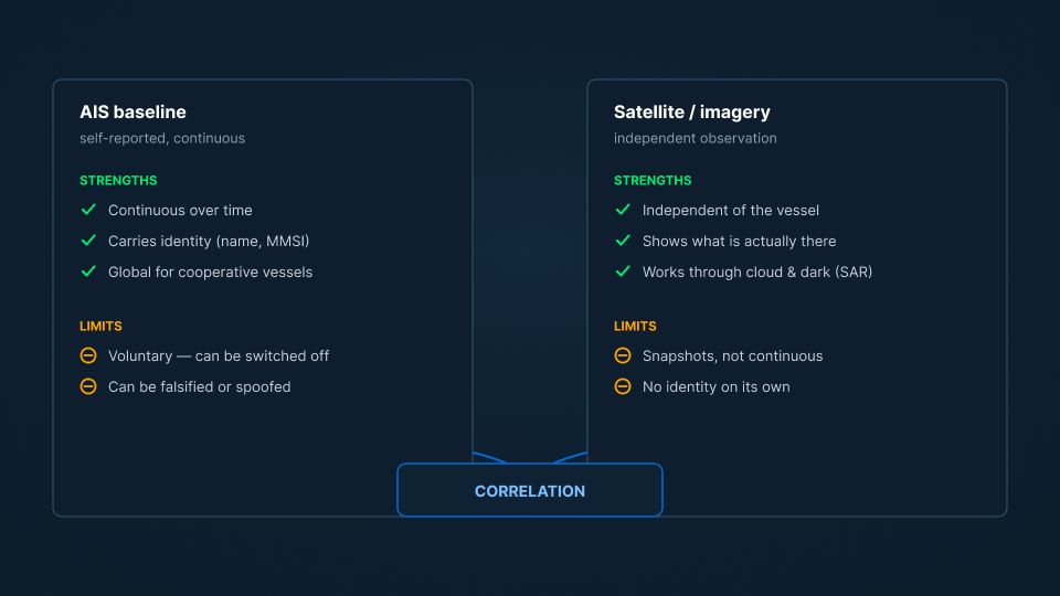
The Automatic Identification System is the self-reported base layer of maritime tracking. Vessels broadcast their identity, position, course, and speed, and receivers on shore and in orbit collect those broadcasts. Its strengths are real: it is continuous, it carries identity, it covers cooperative traffic globally, and it is inexpensive to consume. For the large majority of vessels, which report themselves honestly, AIS is accurate and often sufficient on its own.
Its limits follow from its nature. AIS is voluntary, so a vessel can operate without it. It is self-reported, so a vessel can transmit a position or identity that is not true. It describes what vessels choose to say about themselves, which is exactly what a vessel intent on concealment will manipulate.
What satellite tracking does
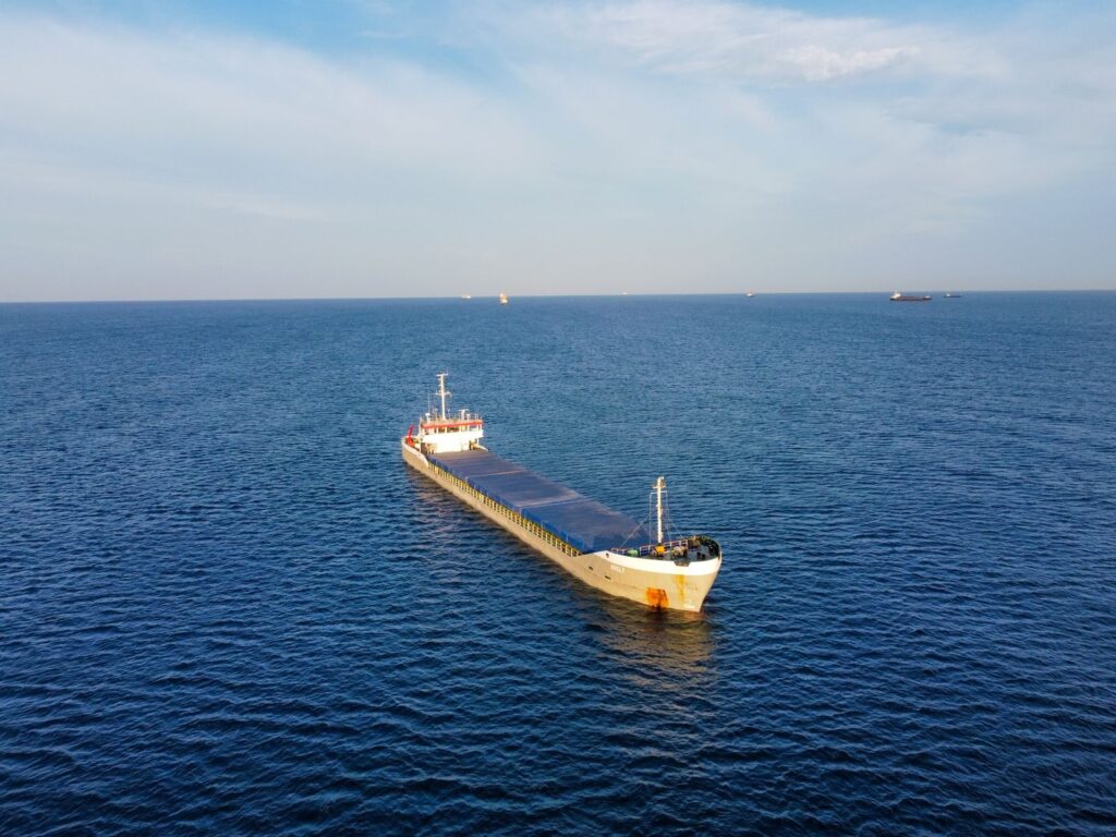
Satellite tracking, through imagery of the water, observes vessels directly rather than relying on them to report. Its strength is independence: it shows what is physically present regardless of whether a vessel is transmitting, and it can therefore confirm or contradict the self-reported picture. It is what accounts for vessels the baseline does not explain.
Its limits are also characteristic. Observation tends to be a series of snapshots rather than a continuous feed, it is directed toward areas and times of interest rather than watching everywhere at once, and an image on its own does not carry a vessel’s name. Observation establishes what is there; attribution and context still have to follow.
Why the comparison resolves into correlation
Set the two side by side and the pattern is clear: the limits of one are largely covered by the strengths of the other. AIS supplies continuous, identity-rich coverage of cooperative vessels but can be switched off or falsified. Satellite observation supplies independent ground truth but is not continuous and does not name what it sees. The productive move is not to rank them. It is to correlate them.
Correlation is where the answer lives. An observed hull that matches an AIS track confirms a vessel. An AIS track with no hull where it claims to be points to a false position. A hull with no AIS to account for it is a candidate worth examining. The comparison “AIS versus satellite” quietly becomes “AIS correlated with satellite,” and that is the version that produces intelligence. (See: How Satellite Vessel Detection Works and Why AIS Alone Is Not Enough for Maritime Security.)
From either-or to both, judged
Even a perfect correlation is only a set of candidates until judgment is applied. A hull with no matching AIS is unremarkable if it is a small pleasure craft and significant if it is a large cargo vessel with a troubling recent history. The context is what turns the combined picture into a finding. (See: What Is Maritime Domain Awareness and How to Track Vessels Without AIS.)
SynMax delivers that combined picture as a capability through Theia, anchoring on the AIS baseline, enriching it with imagery, and applying the judgment that decides which vessels warrant attention. The question was never which tracking method to choose. It is what the two of them, read together and weighed in context, actually reveal.
That is the standard we hold to across everything we build: Ground Truth for Every Decision.
If your team is weighing how to track vessels across your waters, request a demo and we will show you what the combined picture looks like in your area of interest.