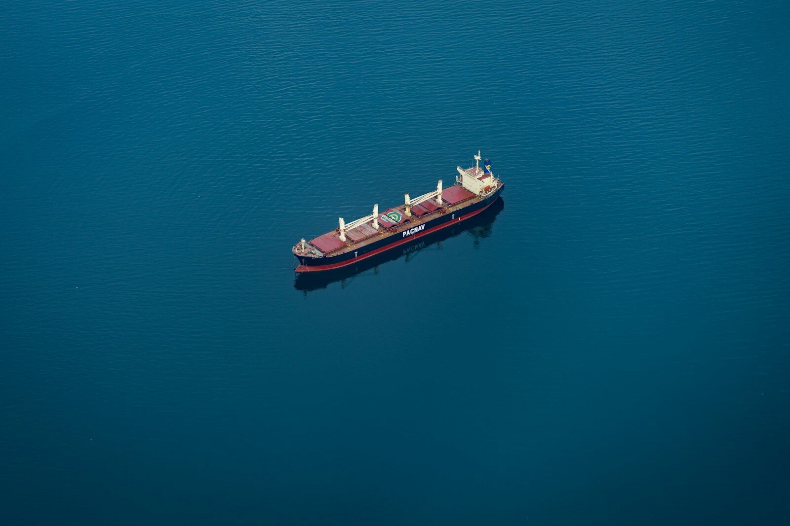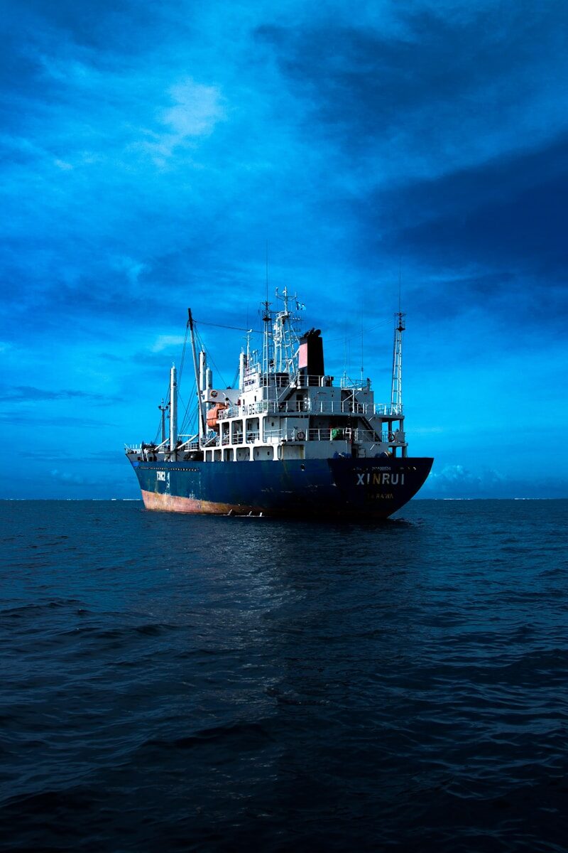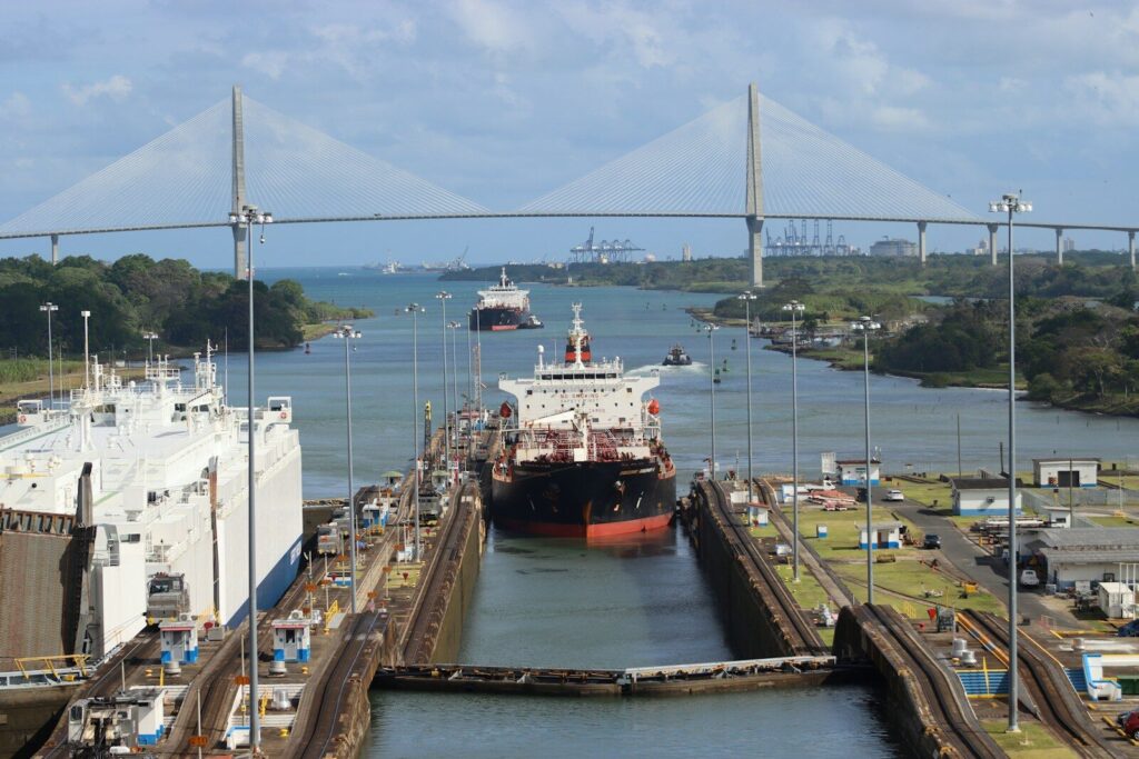
A maritime chokepoint is a narrow passage through which a large volume of shipping must pass, such as a strait or canal connecting two larger bodies of water. Chokepoints concentrate traffic, which makes them commercially vital and strategically sensitive. A disruption at a chokepoint ripples through global supply chains, and the same concentration that makes them important also makes them a natural focus for monitoring. This guide covers the approach.
Step 1: Define the area and what matters in it
Effective monitoring starts with a clear definition of the passage and the questions being asked of it. The area of interest is bounded, and the priorities are set: total traffic volume, the mix of vessel types, the presence of specific vessels or fleets, and the behaviors that would signal concern. A chokepoint watched for supply-chain intelligence is framed differently from one watched for security or sanctions enforcement, even when the geography is identical.
Step 2: Establish a baseline
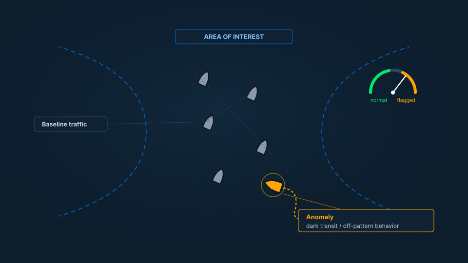
Anomalies only stand out against a known normal. Building a baseline means characterizing the passage under ordinary conditions using the reported picture and past observation: how many vessels transit in a typical period, what types they are, the routes and speeds they hold, and the rhythm of traffic across days and seasons. This baseline is the reference against which unusual activity is measured, which is why historical analysis underpins real-time monitoring rather than competing with it. (See: Real-Time Monitoring vs Historical Pattern Analysis.)
Step 3: Enrich the reported picture with imagery
Chokepoints reward continuous coverage, because the events that matter are often brief. The AIS baseline shows the cooperative traffic transiting the passage, and imagery of the water enriches it by confirming what is physically present and revealing hulls the baseline does not account for. A vessel that stops transmitting as it approaches or transits a sensitive strait is exactly the kind of event this enrichment is meant to surface, so that it can be judged rather than missed. (See: How to Track Vessels Without AIS and How to Detect Dark Ships.)
Step 4: Flag and judge anomalies
With a baseline in place and observation running, the analytical work is anomaly detection followed by judgment. Departures from normal are surfaced and then interpreted: an unexpected concentration of vessels, a vessel behaving inconsistently with its type, a large vessel going dark on approach, congestion that suggests disruption, or the appearance of vessels linked to prior concerns. Each anomaly is weighed in context, because a departure from the baseline is a candidate rather than a conclusion. Deciding which anomalies reflect routine variation and which signal a developing situation is maritime domain awareness applied to a single high-value location. (See: What Is Maritime Domain Awareness.)
From passage to picture
A chokepoint is where a small area carries outsized consequence, and where a missed event is costly. SynMax delivers the capability to hold that awareness through Theia, measuring imagery-enriched observation against a known baseline and applying the judgment that tells routine variation from a developing situation.
That is the standard we hold to across everything we build: Ground Truth for Every Decision.
If your team needs continuous awareness over a strategic passage, request a demo and we will show you what that looks like in your area of interest.